marine park
Type of resources
Keywords
Publication year
Service types
Topics
-
This service has been created specifically for display in the National Map and the chosen symbology may not suit other mapping applications. The Australian Topographic web map service is seamless national dataset coverage for the whole of Australia. These data are best suited to graphical applications. These data may vary greatly in quality depending on the method of capture and digitising specifications in place at the time of capture. The web map service portrays detailed graphic representation of features that appear on the Earth's surface. These features include the administration boundaries from the Geoscience Australia 250K Topographic Data, including state forest and reserves.
-
ESRI Grids of available bathymetry within the bounds of proposed Marine Protected Areas in the Antarctic. Interpolated datasets are also included.
-
The Timor Sea and its tropical marine environment support significant and growing economic activity including oil and gas exploration. To reduce uncertainty in decision making regarding the sustainable use and ongoing protection of these marine resources, environmental managers and resource users require sound scientific information on the composition and stability of seabed environments and their biological assemblages. Surveys SOL4934 and SOL5117 to the eastern Joseph Bonaparte Gulf were undertaken in August and September 2009 and July and August 2010 respectively, in collaboration with the Australian Institute of Marine Science, with research collaborations from the RAN Australian Hydrographic Office, the Geological Survey of Canada and the Museum and Art Gallery of the Northern Territory. The purpose of these surveys were to develop biophysical maps, and deliver data and information products pertaining to complex seabed environment of the Van Diemen Rise and identify potential geohazards and unique, sensitive environments that relate to offshore infrastructure. This dataset comprises four P pools in the upper 2 cm of the fine fraction (<63 um) of seabed sediments:adsorbed/oxide-associated-P; authigenic-P; detrital-P and organic-P. Some relevant publications are listed below: 1. Heap, A.D., Przeslawski, R., Radke, L., Trafford, J., Battershill, C. and Shipboard Party. 2010. Seabed environments of the eastern Joseph Bonaparte Gulf, Northern Australia: SOL4934 Post Survey Report. Geoscience Australia Record 2010/09, pp.81. 2. Anderson, T.J., Nichol, S., Radke, L., Heap, A.D., Battershill, C., Hughes, M., Siwabessy, P.J., Barrie, V., Alvarez de Glasby, B., Tran, M., Daniell, J. & Shipboard Party, 2011b. Seabed Environments of the Eastern Joseph Bonaparte Gulf, Northern Australia: GA0325/Sol5117 - Post-Survey Report. Geoscience Australia, Record 2011/08, 58pp. 3. Radke, L.C., Li, J., Douglas, G., Przeslawski, R., Nichol, S, Siwabessy, J., Huang, Z., Trafford, J., Watson, T. and Whiteway, T. Characterising sediments of a tropical sediment-starved continental shelf using cluster analysis of physical and geochemical variables. Environmental Chemistry, in press
-
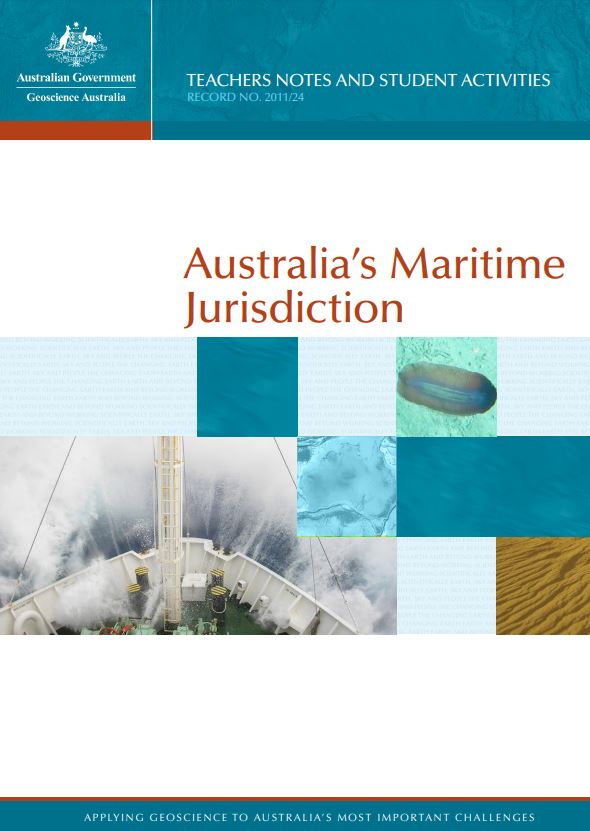
This colour resource is an 28 page booklet containing information about the law of the sea, maritime zones and managing Australia's jurisdiction. Includes a student activity suitable for upper primary students.
-
Physical sedimentological processes such as the mobilisation and transport of shelf sediments during extreme storm events give rise to disturbance regimes that characterise many shelf ecosystems. Connell's (1978) intermediate disturbance hypothesis predicts that biodiversity is controlled by the frequency of disturbance events, their spatial extent and the amount of time required for ecological succession. A review of available literature suggests that rates of ecological succession in shelf environments range from 1 to over 10 years. Physical sedimentological processes operating on continental shelves having this same return frequency include synoptic storms, eddies shed from intruding ocean currents and extreme storm events (cyclones, typhoons and hurricanes). Research by physical sedimentologists has shown that the results of such storms may include widespread erosion, deposition of storm beds over 1m in thickness and destruction of bioherms such as coral reefs. Published models of extreme storms indicate their influence may extend to over 100 km from the pressure-centre of the atmospheric depression. Information such as this is essential to marine managers charged with the design of marine protected areas (MPAs) and other conservation measures aimed at protecting and preserving biodiversity in the oceans. Further modelling studies are needed to more accurately represent shelf disturbance regimes in relation to the spatial and temporal variations associated with shelf ecological successions.
-
This resource contains geochemistry data for the Oceanic Shoals Commonwealth Marine Reserve (CMR) in the Timor Sea collected by Geoscience Australia during September and October 2012 on RV Solander (survey GA0339/SOL5650). This dataset comprises carbonate concentrations and specific surface area measurments on the upper 2 cm of seabed sediments. The Oceanic Shoals Commonwealth Marine Reserve survey was undertaken as an activity within the Australian Government's National Environmental Research Program Marine Biodiversity Hub and was the key component of Research Theme 4 - Regional Biodiversity Discovery to Support Marine Bioregional Plans. Hub partners involved in the survey included the Australian Institute of Marine Science, Geoscience Australia, the University of Western Australia, Museum Victoria and the Museum and Art Gallery of the Northern Territory. Data acquired during the survey included: multibeam sonar bathymetry and acoustic backscatter; sub-bottom acoustic profiles; physical samples of seabed sediments, infauna and epibenthic biota; towed underwater video and still camera observations of seabed habitats; baited video observations of demersal and pelagic fish, and; oceanographic measurements of the water column from CTD (conductivity, temperature, depth) casts and from deployment of sea surface drifters. Further information on the survey is available in the post-survey report published as Geoscience Australia Record 2013/38: Nichol, S.L., Howard, F.J.F., Kool, J., Stowar, M., Bouchet, P., Radke, L.,Siwabessy, J., Przeslawski, R., Picard, K., Alvarez de Glasby, B., Colquhoun, J., Letessier, T. & Heyward, A. 2013. Oceanic Shoals Commonwealth Marine Reserve (Timor Sea) Biodiversity Survey:GA0339/SOL5650 - Post Survey Report. Record 2013/38. Geoscience Australia: Canberra. (GEOCAT #76658).
-
Lord Howe Island in the southwest Pacific Ocean is surrounded by a shallow (20 - 120 m) sub-tropical carbonate shelf 24 km wide and 36 km long. On the mid shelf a relict coral reef (165 km2) extends around the island in water depths of 30 - 40 m. The relict reef comprises sand sheet, macroalgae and hardground habitats. Inshore of the relict reef a sandy basin (mean depth 45 m) has thick sand deposits. Offshore of the relict reef is a relatively flat outer shelf (mean depth 60 m) with bedrock exposures and sandy habitat. Infauna species abundance and richness were similar for sediment samples collected on the outer shelf and relict reef, while samples from the basin had significantly lower infauna abundance and richness. The irregular shelf morphology appears to determine the distribution and character of sandy substrates and local oceanographic conditions, which in turn influence the distribution of different types of infauna communities.
-
The Lord Howe Island survey SS06-2008 in April 2008 aboard the RV Southern Surveyor was a collaboration between the University of Wollongong and Geoscience Australia. The survey was also an activity of the Commonwealth Environment Research Facilities' (CERF) Marine Biodiversity Hub, of which Geoscience Australia is a partner, and will contribute to the revised Plan of Management for the Lord Howe Marine Parks. The objectives of the survey were to map the morphology and benthic environments of the shallow shelf that surrounds Lord Howe Island as well as the deeper flanks of this largely submarine volcano. Of particular interest was the apparent drowned reef structure on the shelf and the spatial distribution of seabed habitats and infauna. The data collected are required to better understand the history of reef growth at Lord Howe Island, which sits at the southernmost limit of reef formation, and links between the physical environment and ecological processes that control the spatial distribution of biodiversity on the shelf. The morphology of the flanks of the submarine volcano was also examined to reveal whether they provide evidence of major erosional and depositional processes acting on the volcano. This report provides a description of the survey activities and the results of the processing and initial analysis of the data and samples collected.
-
GA Record detailing the bathymetry compilation put together by Geoscience Australia in agreement with the Australian Antarctic Division. The dataset was used in support of Australia's contribution to the development of the Representative System of Marine Protected Areas (RSMPA) at the CCAMLR Workshop on Marine Protected Areas, held in Brest, France in August 2011.
-
Flythrough movie showing the bathymetry of the continental shelf within the Oceanic Shoals Commonwealth Marine Reserve (Timor Sea), highlighting carbonate banks and pinnacles as benthic habitats. The bathymetric image is derived from multibeam sonar collected in 2012 using a 300 kHz Simrad EM3002 system on RV Solander and gridded at 2 m resolution. The Oceanic Shoals Reserve is a study site for the Marine Biodiversity Research Hub, funded through the National Environmental Research Program. Survey work was carried out as a collaboration between Geoscience Australia, the Australian Institute of Marine Science and University of Western Australia. Further information is provided in GA Record 2013/38.